Wednesday, September 29, 2010

Flat Tire Paradise

Halloween is approaching


Distance         41.5 Miles
Max Speed    28.5 MPH
Ave Speed     12.6 MPH
Pedal Time     3:18
Temp             76F


The original plan was to ride to the Cape Cod Canal bike way in Bourne, MA. and maybe take a spin around Mass Maritime Academy.   First order was to explore some of the side streets along the resort town of Onset, which is a short ride from the Canal town of Buzzards Bay.  While riding around Onset the weather began to deteriorate getting very foggy, damp and overcast.  There are storms in the area which encouraged the decision to return the 20 miles to Fairhaven.

There is one short stretch that connects Onset to Wareham, MA that it's best to ride on the sidewalk.  The road is too narrow for bikes, and vehicles traveling at a pretty good clip, to share safely.  The only other traffic on the sidewalk today, as any other day, was a couple of other cyclists. It was on the walkway that the front tire began to loose air.  Removing the tire was a bit of a struggle which was exacerbated by the humidity.

I couldn't find either the cause of the flat nor the hole in the tube. Pouring water from my supply was no help and that struck me as odd.  It took a good 30 minutes to complete the task and in the past this would have bothered my.  Those were the days that I also didn't like getting passed by a stranger and I would also work very hard to catch another bike on the road.  I now subscribe to the idea that if I were in a hurry, I shouldn't be on a bike. I did stop for a break once I got to the center of Wareham, sat on a bench and very methodically did a visual inspection of the flattened tube.  Sure enough the puncture was found and patched. I'll reinstall that tube first chance I get and put the new one back in the bag.

The bridge to Independence Point in Onset, MA.


Not a dead end. Simply a bimodal route.
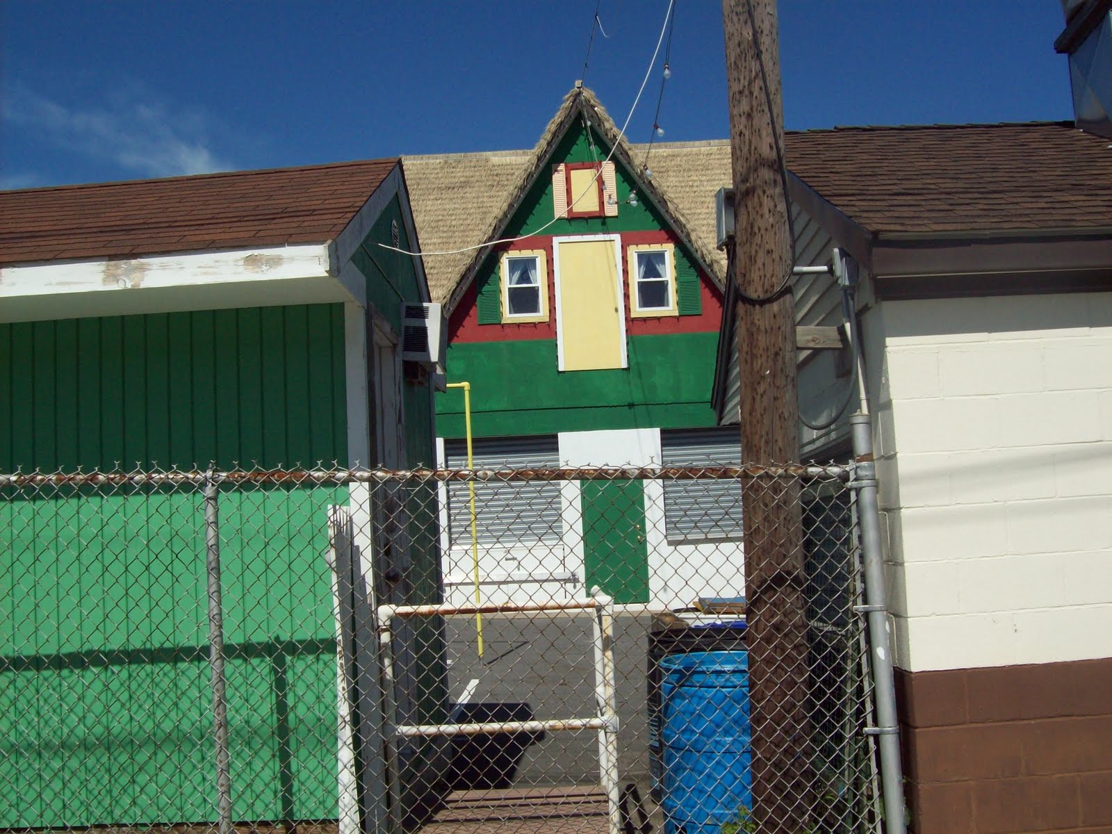
Quaint Onset homes


The Inn at Independence Point


Returning to Onset center


Empty beaches. All the tourist have gone

Wednesday, September 22, 2010

Lunch With Gertrude and Heathcliff


As usual, click for big once and click again for bigger.


The thermometer said 76 which seemed like a good a time as any to pack a light lunch and ride to the beach.  The high winds kept most of the lunchtime visitors in their cars, which left me the lone person outside with food. Naturally all the seagull gathered around me and the wind allowed them to hover close to me and beg for a piece of bread.  A good estimate was 30 birds, all trying their best to entertain and influence me to share.


I threw a small piece on the ground and a near riot ensued. Next I tried throwing a sliver in the air and they had no problem picking it off without losing a crumb, even with the gusting winds.   Finally I held a piece between my fingers  and a couple of brave gulls coasted in for a snack.

Monday, September 20, 2010

Use The Map. It's Easier./ $94 Flights


The flags tell the story of the wind

Distance   33.5 Miles
Time        2 hrs 51 mins
max         27.4 MPH
ave          13 MPH 


The wind was really whipping up on this corrected route of the last ride. Checking a map should be a no brainer, but sometimes we bikers tend to just go out and start pedaling when we do a loop from home.

Today's ride was more direct and shorter but was made pretty difficult by the sustained 25MPH winds. Gusts to 30 MPH made things more interesting. Then there was the return trip that evened things out very nicely.

Again it was a non-stop ride which is beginning to become a habit.  I had every intention of stopping for a drink and maybe a stretch, but simply drank while riding and skipped the stretching.

The cross road to the back side of the airport was a little hilly and shorter than expected.  Today was also the first day of riding with a jacket since way back.  The fall equinox is only a couple of days away and soon enough it will be balaclavas and winter gloves for riding.

Southwest has $94 internet specials from Providence to Austin in February.  I'm going to grab one to see #3 son for a long weekend. 


 Found another old cemetary


Halloween is near


This has something to do with the PCB clean up in the harbor

Thursday, September 16, 2010

Up, down. Up, down.


Distance 42 miles
Pedal time 3 hrs 11 mins
Max speed 24.6 MPH
Ave speed 13 MPH

The last couple of rides have begun with a route in mind and somewhere along the way a side road beckons.
The plan was to ride to exit 9 along the local highway and loop back through another familiar route to the Airport road.  There had to be a  link between the two, somewhere in the middle.  Things didn't work out that way and the ride became an adventure of sorts.

Riding beyond familiar territory inspired a bit of exploring.  "This" road will eventually come to a T and taking a left there would no doubt lead the way to the airport.  Up, down. Up, down. Rolling hills kept bringing back the feeling that something may be amiss.  Once the sign for Freetown appeared on this side of the area, there was little doubt that the only way out of this conundrum was to turn around.  Naturally I kept going and finally realized that I was on a road that would soon turn into a major connector into the city of Fall River, MA.   The traffic would increase and so would the craziness.  A glance at the computer showed that it was just over 20 miles home.  Up, down, up down. It did set a new standard of riding 42 miles without stopping and that has never happened before.  Probably won't happen again.   No big deal, just not my style.

Lake St. lake


Classic car was the only other on this road.


Oh oh.  This is not where I'm supposed to be


Old shed in Assonet, MA.


This was one of the most feared soccer club in the city in the 60's.


Sight of the annual Portuguese Feast


Donde esta el banyo?   Aqui, aqui

This was once a largest Portuguese school in the city.

Tuesday, September 14, 2010

Dartmouth, MA

Wood Hole to Martha's Vinyard Auto Ferry


Distance       29 Miles
Time            2 hrs. 27 Minutes
Max Speed  29.4 MPH
Ave speed   12 MPH

Twin Falls in Dartmouth was a regular riding route back in the summers of 64 and 65.  It was a daily ride from the south end of New Bedford before work at the beach snack bar.  15 miles round trip was no big deal on a Schwinn three speed cruiser.  My buddy rode his single speed banana bike and cursed constantly both directions.


Today was a roundabout route there and in stead of turning back from the Falls, the ride continued deeper into the southern section of Dartmouth before looping back at the Dartmouth harbor. 

Lunch was at a neat little farm stand with small animals wandering the property. Things like donkeys, sheep, goats and some critters.  There was not much in the way of lunch food and I had to settle on a cheese and berry danish with a chocolate milk. Both hit the spot while sitting at the falls.


At the top of the long Union St. climb.


Settled for a cheese and berry danish with milk for lunch


Lunch at the falls.


The longer route meandered through the winding roads of the southern point of Dartmouth before looping back to the harbor. A man, a bike and the wind was all the activity on that section of the ride.


Just the bike and the road.


Yahd full a cahs (and trucks) 


Dartmouth Harbor looking toward the ocean


Looping back home on Smith Neck Rd in Dartmouth, MA.


There was every intention of ending the day with a swim at Fort Phoenix in Fairhaven, MA till the weather changed.  The wind picked up dramatically, the sky darkened and drops of rain began to fall. The tide was high though which makes for wonderful swimming.   Alas, maybe tomorrow.


Little Toot


Beach goers watch the approaching storm and the fleet going to sea. (click photo for closer look)


High Tide


Sunday, September 12, 2010

Festival, Factories and Other Stuff


Distance        29 miles
Time             2 hrs. 23 mins
Max speed    25.1 MPH
Ave Speed   12.0 MPH

The town of Acushnet is celebrating it's annual Apple Peach festival this weekend.  It's a real old fashioned country affair where lots of people attend but nobody does anything.  Sit around waiting for the parade, then walk around the grounds and nearby flea markets and garage sales. Many of the items have been sold and resold at this event for years.

Waiting for the parade


Festival grounds


After breaking away from the festival area, things got really quiet on the roads.  Very little traffic allowed for meandering along the country roads which lead to lots of stops at newly discovered places. The head of the Acushnet River is a nice wildlife area that gradually winds it way to the factory areas before breaking out into the bay and finally the Atlantic.
Old road to somewhere


Fantasy lot in Rochester, MA


Rivers End (Acushnet River in New Bedford, MA)


Rivers End Pub


The problems of the 20th century become evident as the river passes along the old factory areas.  New Bedford was twice the richest city in the country. During the Whaling era and again the Manufacturing era when cotton mills ruled.

Bellville Ave has massive factory building lining both sides


The early 20th century when cotton ruled.

High tech communications strapped to low tech waste disposal


Note the handicap entrance sign

Converting massive old mills to apartments in New Bedford, MA


More waste disposal into the river


All the factory waste and sewer overflow lead to this


All that will be left after the super fund clean up is new roads to nowhere